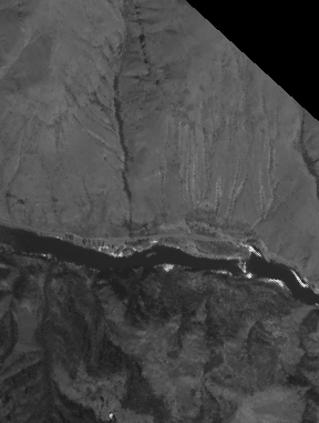
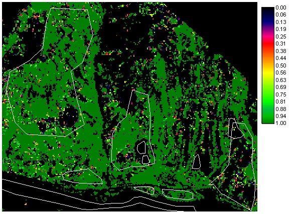
Enlarged area.
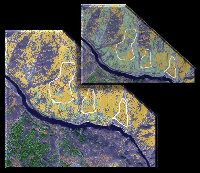
Results using a uniform prior for yellow starthistle and annual grass. Large outlined areas in the upper portion of the image represent areas where YST is expected. Smaller outlined regions within the same image area represent training sites for YST. Outlined areas at the bottom of the image are grass and river sites.
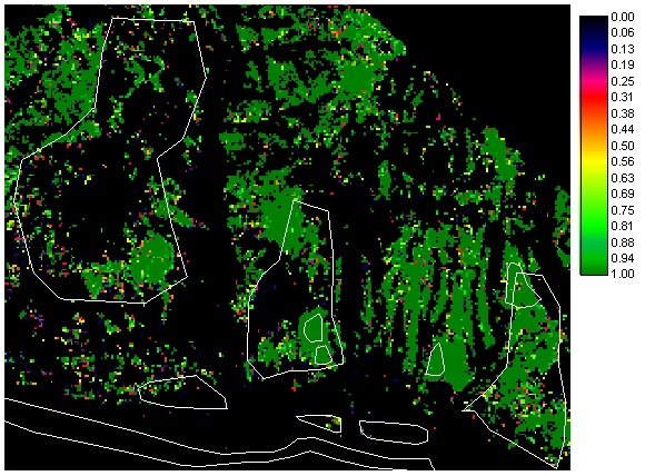
YST
AGRASS
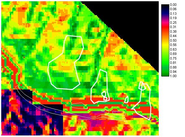
Prior probability map for yellow starthistle developed from the landscape variables slope, aspect and land use. The darker region in lower left corner represents forest ground while the rest of the image is categoriezed as mixed rangeland.
The resulting posterior probability map for YST.
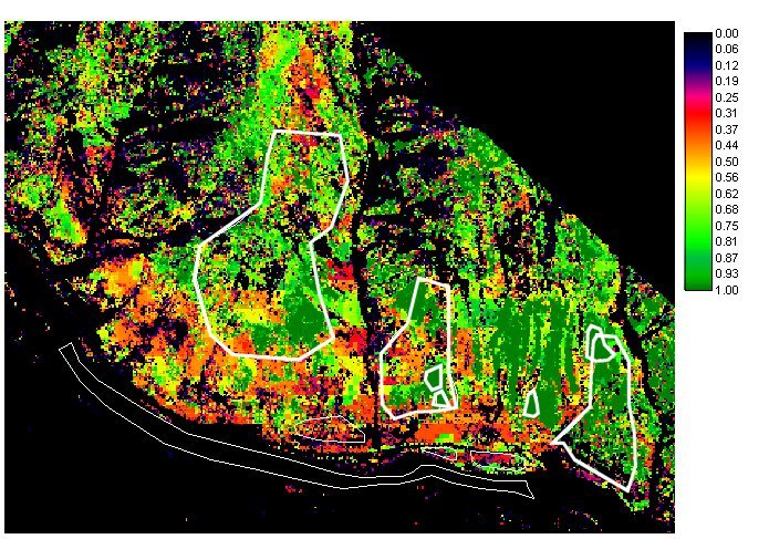
Comparision of classification using the uniform (upper righthand corner) and spatial YST priors. Maps were hardened (given discrete classifications) at p(YST) =.30. Yellow regions are classified as YST, light green as AGRASS, dark green as forest and blue as other.